


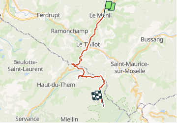

10 km | 14,1 km-effort


Gebruiker


Gratisgps-wandelapplicatie
 SityTrail
IGN / Geografische instituten
SityTrail World
De wereld gaat voor u open
Tocht Fiets van 17,4 km beschikbaar op Grand Est, Vogezen, Le Ménil. Deze tocht wordt voorgesteld door pascaldaiche.
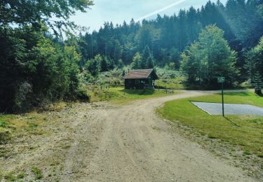
accès au col
Stappen
Stappen

Te voet

Stappen
Mountainbike
Stappen

Te voet
Stappen
Stappen